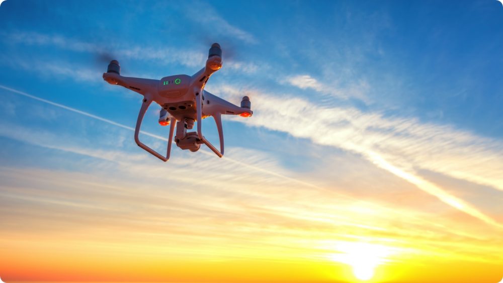
Future Aerial use drones to provide accurate and consistent data to increase flood resilience and protect people globally from this type of natural disaster.
Dealing with Future issues
We work with public and private sectors to identify, plan and deliver accurate data for complex projects. Our focus is to work with our partners to increase clarity, inform decision making and reduce risk by providing data and innovating across the lifecycle of a project. We listen and learn about the needs of our partners and transform projects by tracking and visualising progress with information rich data.
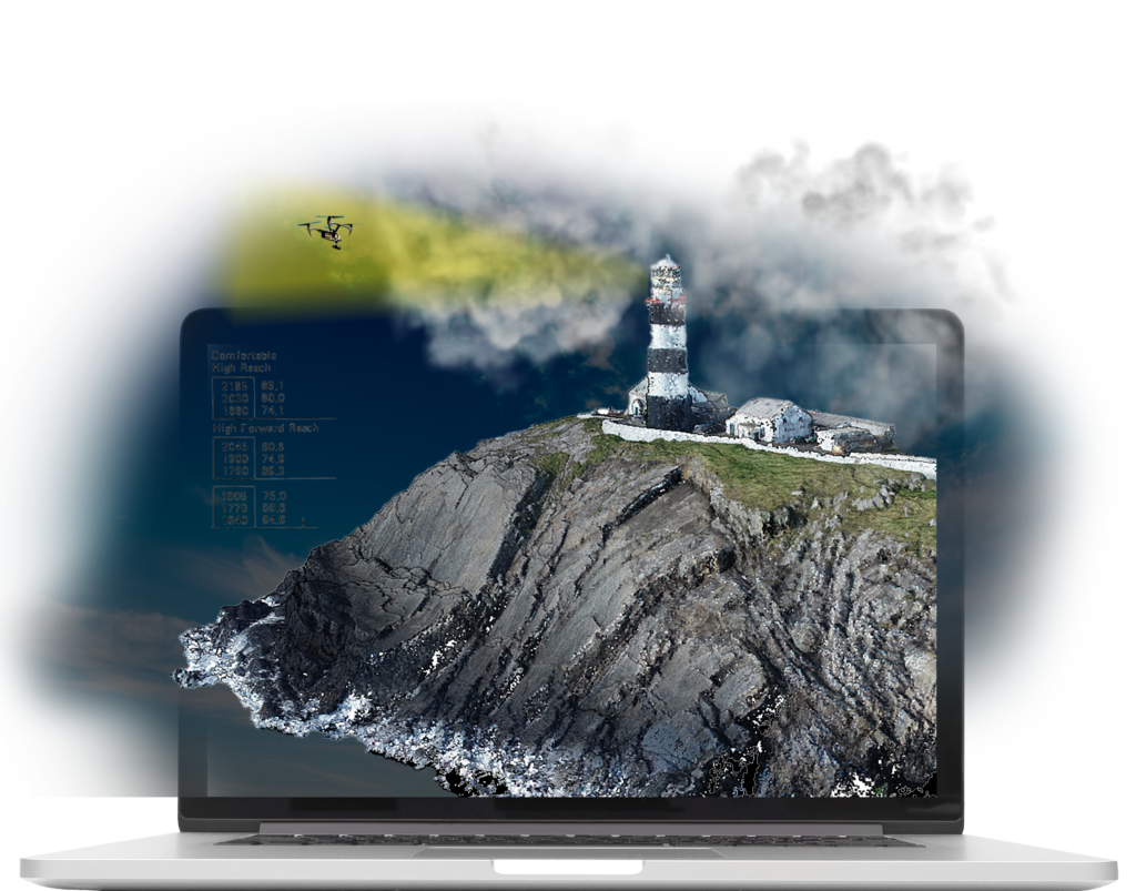
Our drone footage provides high resolution insight, far superior to satellite imagery to be used for topographic surveys, flood modelling and coastal monitoring. Individual images can be turned into complex 3D datasets and LiDAR surveys provide digital terrain models that ‘see beneath’ the vegetation.
For accurate data to help tackle the environmental issues that we all face.