We pride ourselves on working with large construction enterprises in a way that fits their methodologies, partnering with them on complex projects.
We understand that, for the full benefits of drone data across departments to be realised, a vital knowledge exchange is required and stringent safety and quality standards need to be met.
As this kind of data can be many GBs in size, we provide it via online applications that allow you to navigate the point cloud and take measurements – no need to wait for data to download or purchase specialist software.
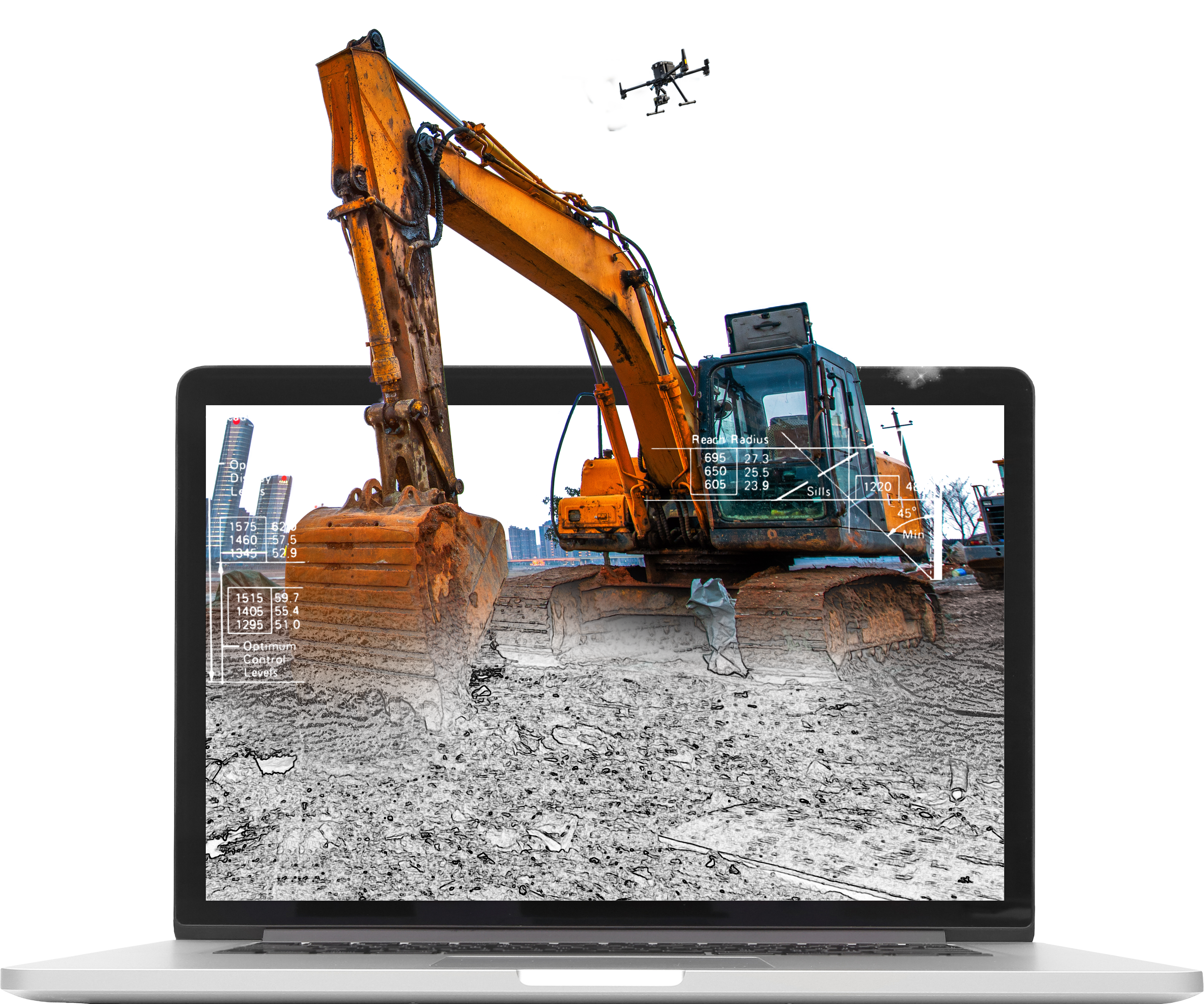
Future Aerial can combine high resolution imagery and accurate GPS positioning data to recreate a site in 3D. For design and build projects, this might be the baseline to design upon, or as a detailed record once construction is completed. We acquire, process and deliver accurate, high resolution point cloud data and use it in AutoCAD and GIS software packages as well as:
As this kind of data can be many GBs in size, we provide it via online applications that allow you to navigate the point cloud and take measurements – no need to wait for data to download or purchase specialist software.
Avoid the headache of managing your own internal drone operations.